Dogwood
The Dirt on Dogwood: Bacara’s Expert Estimation of Fluctuating Dirt Quantities
Heavy civil projects, especially those that involve estimating earthwork volumes, rely on exact data to utilize resources efficiently and effectively. To keep a project’s timeline and budget on target, our clients know that Bacara’s state of the art equipment and experienced, licensed surveyors provide accurate data and immediate results.
Steve Schuster, local developer and owner of Dogwood Properties, recently commissioned Bacara to calculate volumes of dirt needed for the Dogwood 58-lot subdivision in Le Mars, Iowa. With sister companies CEC and RP Constructors heading the design/build portion of the project, Schuster relied on Bacara to perform the survey work. As timelines shifted and crews moved ahead of schedule, Bacara’s drones flew over the site and provided precise estimates of remaining dirt quantities within 24 hours, allowing the crews to work as efficiently as possible. Throughout the project, an excess of175,000 cubic yards of dirt was moved.
Bringing the Future to Dogwood
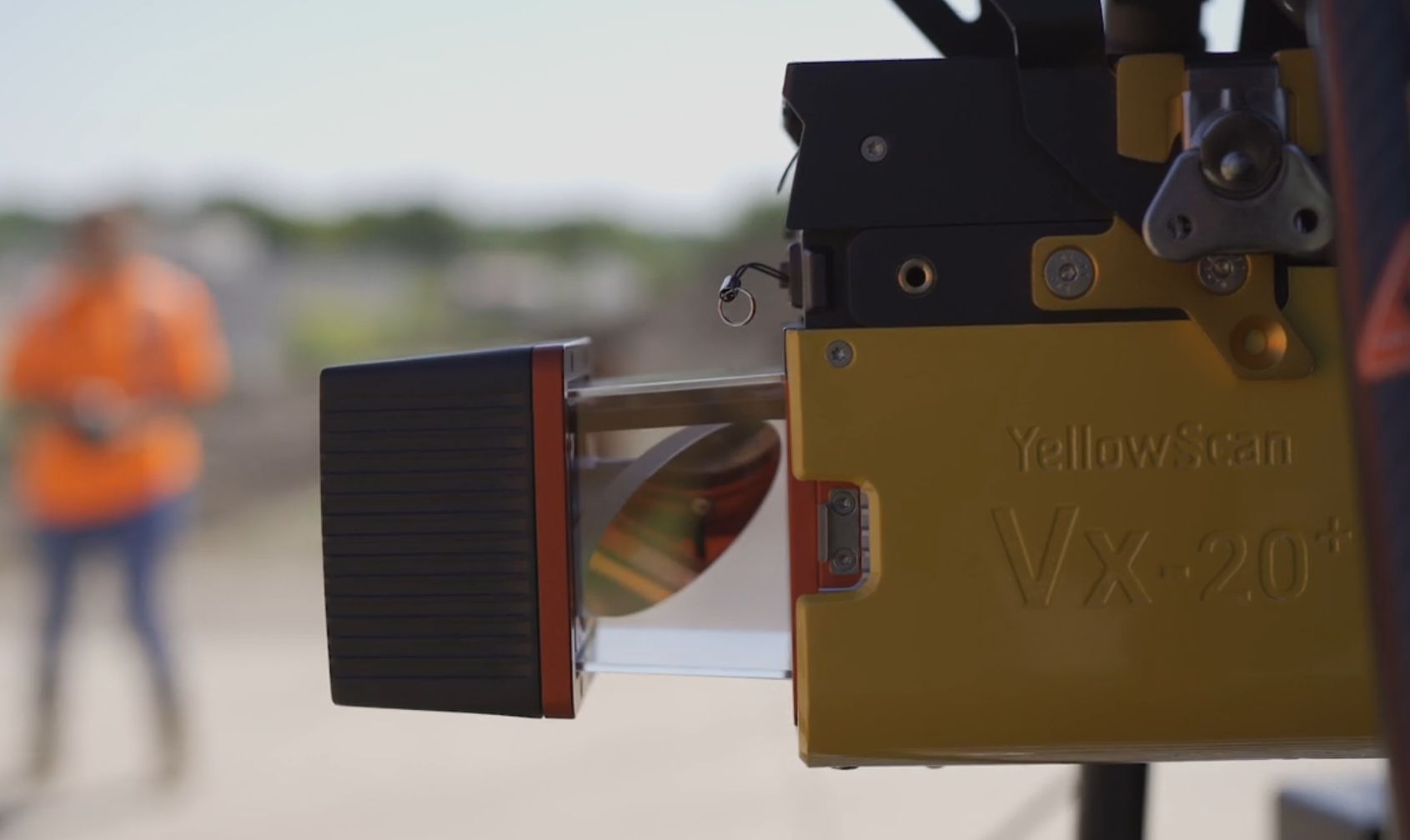
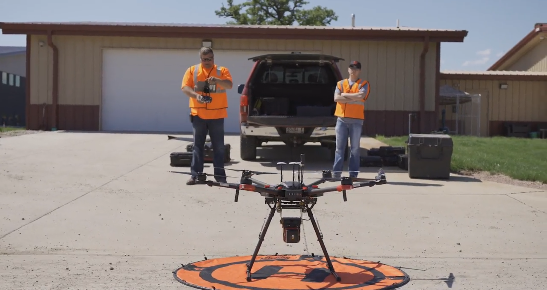
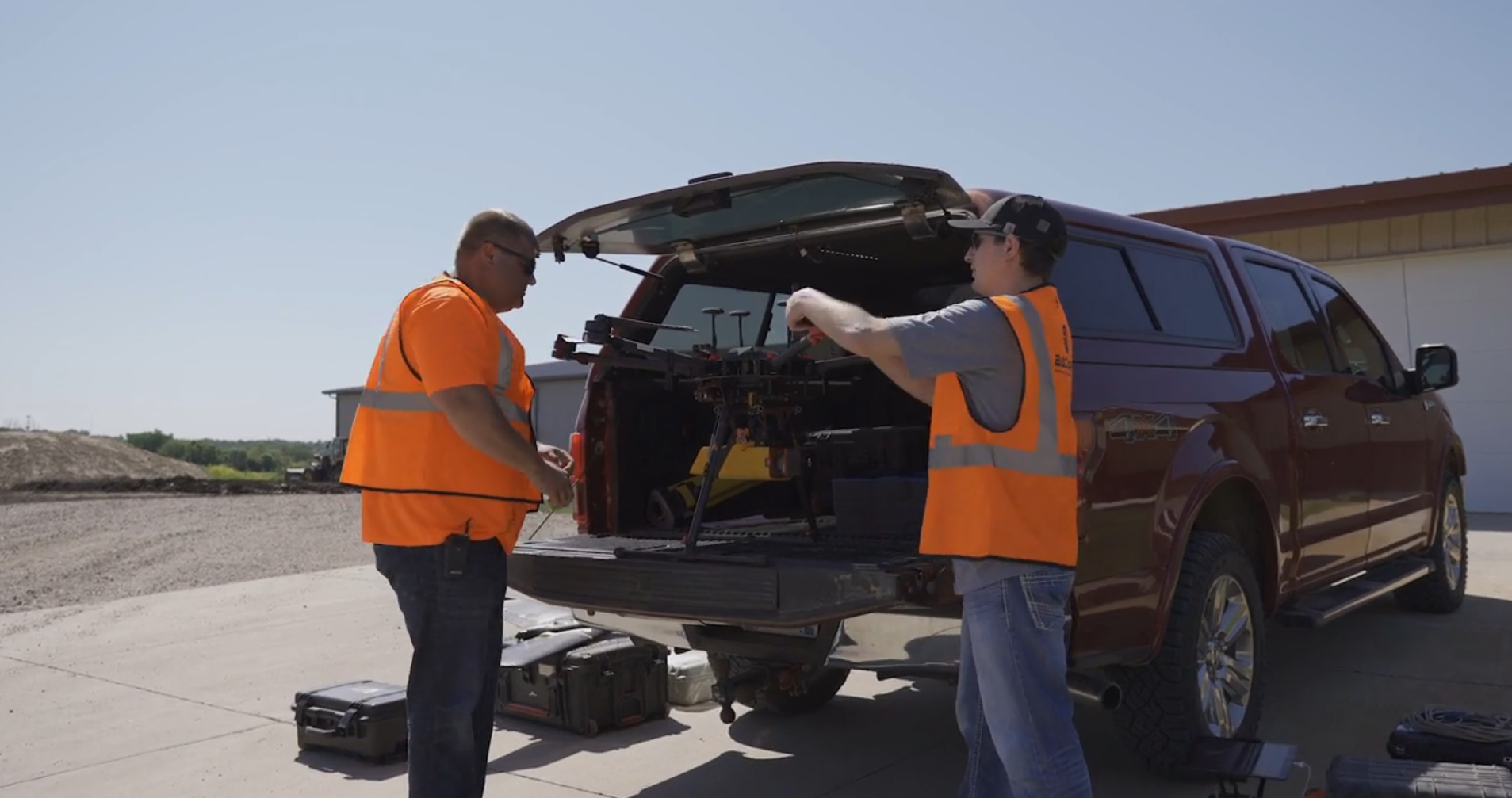
Our drones bring a distinct competitive advantage over traditional methods of survey work. Bacara’s licensed surveyors scheduled four progress drone flights over Dogwood’s build site to calculate dirt quantities. Each flight covered 120 acres in 45 minutes and the data gathered was analyzed and available the next day.
What took Bacara 45 minutes to calculate would take someone on the ground several days to complete, and with a significantly smaller data pool and therefore accuracy. While ground survey tactics would only result in 300 data points, our drone surveying technology’s sky-high view is able to gather literally millions of data points.
The large amount of data Bacara was able to provide the dirt contractor in such a short amount of time was essential to the success of the project. Not only did the quick turnaround keep the contractor on schedule, but the information provided was accurate to less than 0.1 foot vertically and horizontally with an extremely high level of precision. Bacara’s ultramodern technology also generated a 3D image for the developer/contractor’s use.
On top of that, the data gathered by our drones can also be inputted directly in the dirt contractor’s machines to notify crews when they’ve used 80% of their resources, allowing collaboration between the contractor, engineer and owner to stay on schedule.
The Benefit of Bacara
Our elite team of civil engineers, licensed land surveyors, and certified drone pilots offers only the best for our clients, ensuring their projects are a success. Contractors working with Bacara have access to accurate data about the amount of dirt available, giving crews flexibility while maintaining efficiency along the way.
Contact Bacara today to find out more about how our team and services can upgrade your civil project.